Alpine Trails

Hiking finder · base: Ortisei

85 trails · All regions
Any
85 of 85 trails · distances from Ortisei (straight-line to trailhead)

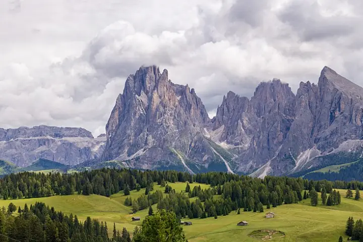
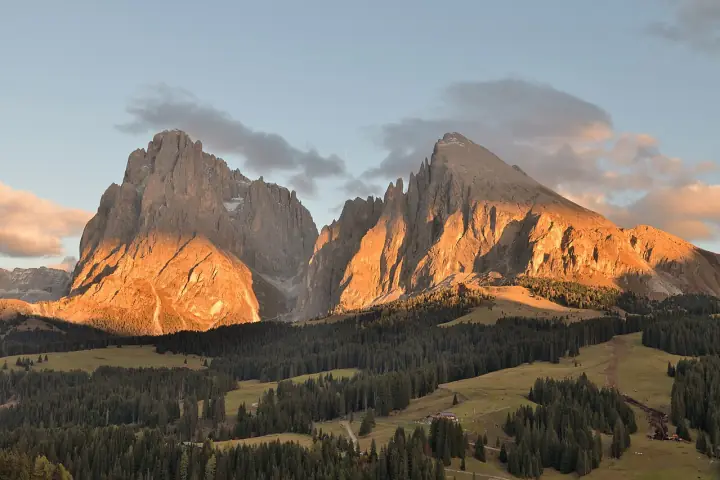
Alpe di Siusi Meadow Walk

Seiser Alm / Sciliar
Easy

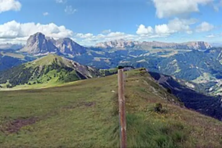
Europe’s largest high-altitude alpine meadow, rolling green under the Sassolungo and Sciliar. Wide, almost flat paths make this the easiest big-view day from Ortisei — perfect for a slow afternoon or a picnic.

Length
6km
Ascent
+150m
Time
~2.5 h
High point
2,005m
Meadow paths Loop May – Oct In season Mont Sëuc cable car from Ortisei High buzz
More detailsLess

Europe’s largest high-altitude alpine meadow, rolling green under the Sassolungo and Sciliar. Wide, almost flat paths make this the easiest big-view day from Ortisei — perfect for a slow afternoon or a picnic.

High point
Mont Sëuc · 2,005 m
Massif · views
Sassolungo & Sciliar views
Trail markers
Meadow paths
Route
Loop · May – Oct
Getting there
Mont Sëuc cable car from Ortisei
Why it’s popular
Europe’s largest high-altitude pasture, framed by the Sassolungo and Sciliar
Trailhead on OpenStreetMap
1.1 km from Ortisei
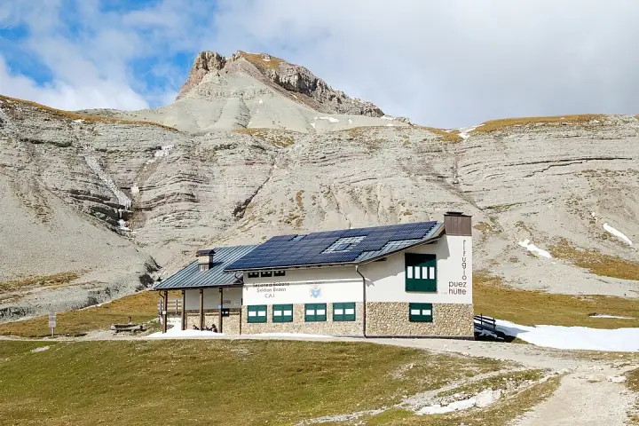
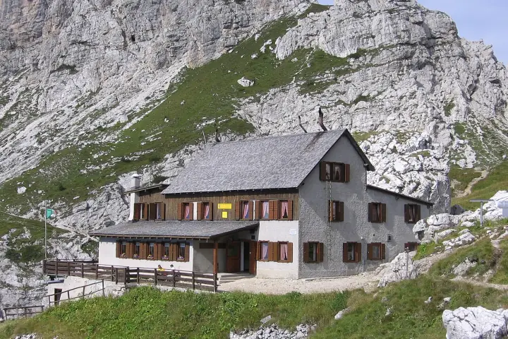
Panascharte (Forcella Pana)

Puez-Odle Nature Park
Medium

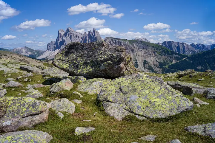
One of the most popular ridge traverses in the valley. From the Resciesa plateau the path runs west under the full sawtooth wall of the Odle to the Pana saddle, then drops onto the Seceda alp. Start early — it gets busy by mid-morning.

Length
8km
Ascent
+480m
Time
~3 h
High point
2,447m
No. 35 / 1 Traverse Jun – Oct In season Resciesa funicular from Ortisei
More detailsLess

One of the most popular ridge traverses in the valley. From the Resciesa plateau the path runs west under the full sawtooth wall of the Odle to the Pana saddle, then drops onto the Seceda alp. Start early — it gets busy by mid-morning.

High point
Forcella Pana · 2,447 m
Massif · views
Odle / Geisler
Trail markers
No. 35 / 1
Route
Traverse · Jun – Oct
Getting there
Resciesa funicular from Ortisei
Trailhead on OpenStreetMap
2.6 km from Ortisei GPX

Raschötz High Promenade

Resciesa / Raschötz
Easy

Sunny, gentle high-level walking on the Raschötz ridge with a 360° sweep over the Puez-Geisler park to the summit cross at 2,281 m, then down past the Heilig-Kreuz chapel. A relaxed family favourite straight off the funicular.

Length
5km
Ascent
+200m
Time
~2 h
High point
2,281m
No. 31 / 1 / 10 Loop May – Nov In season Resciesa funicular from Ortisei
More detailsLess

Sunny, gentle high-level walking on the Raschötz ridge with a 360° sweep over the Puez-Geisler park to the summit cross at 2,281 m, then down past the Heilig-Kreuz chapel. A relaxed family favourite straight off the funicular.

High point
Außerraschötz cross · 2,281 m
Massif · views
Puez-Geisler panorama
Trail markers
No. 31 / 1 / 10
Route
Loop · May – Nov
Getting there
Resciesa funicular from Ortisei
Trailhead on OpenStreetMap
2.6 km from Ortisei GPX
Resciesa → Brogles → Seceda Traverse Dolomites · Italy Photo: Je-str · CC BY-SA 4.0

Resciesa → Brogles → Seceda Traverse

Puez-Odle Nature Park
Hard

A big point-to-point that links the two Ortisei high plateaus: up onto Resciesa, along the Adolf Munkel base, over the steep Furcela de Mesdi scree, then up to the Seceda ridge. Over 1,000 m of climbing and the most demanding day here.

Length
14.4km
Ascent
+1,087m
Time
~6.3 h
High point
2,519m
No. 35 / 29 Traverse Jul – Sep Out of season Resciesa funicular → Seceda cableway
More detailsLess

A big point-to-point that links the two Ortisei high plateaus: up onto Resciesa, along the Adolf Munkel base, over the steep Furcela de Mesdi scree, then up to the Seceda ridge. Over 1,000 m of climbing and the most demanding day here.

High point
Seceda ridge · 2,519 m
Massif · views
Odle / Geisler
Trail markers
No. 35 / 29
Route
Traverse · Jul – Sep
Getting there
Resciesa funicular → Seceda cableway
Trailhead on OpenStreetMap
2.6 km from Ortisei GPX

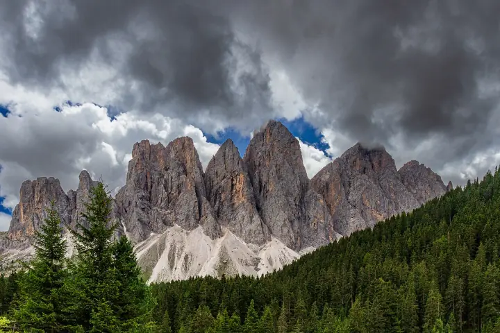
Seceda Ridge Viewpoint

Puez-Odle Nature Park
Easy

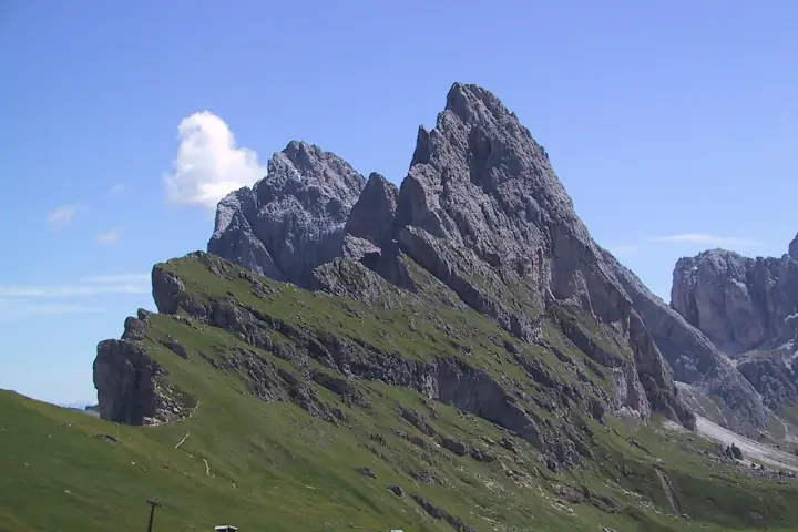
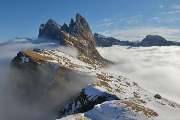
The postcard of the Dolomites: the knife-edge Seceda ridge tilting up to the jagged Odle spires. A short, easy stroll from the top of the cable car to the famous viewpoint, with the Sella and Sassolungo on the horizon.

Length
1.3km
Ascent
+110m
Time
45 min
High point
2,519m
Ridge loop Out & back Jun – Oct In season Seceda cable car from Ortisei Very high buzz
Since July 2025 landowners have intermittently run a €5 turnstile on the path to the summit cross; a signed bypass keeps the viewpoint free. As of Oct 2026
More detailsLess

The postcard of the Dolomites: the knife-edge Seceda ridge tilting up to the jagged Odle spires. A short, easy stroll from the top of the cable car to the famous viewpoint, with the Sella and Sassolungo on the horizon.

High point
Seceda · 2,519 m
Massif · views
Odle / Geisler
Trail markers
Ridge loop
Route
Out & back · Jun – Oct
Getting there
Seceda cable car from Ortisei
Why it’s popular
The tilted Odle ridge is one of the most-shared Alpine images; summer crowds of thousands a day led to the 2025 turnstile protest
Trailhead on OpenStreetMap
4.8 km from Ortisei GPX

Seceda – Pieralongia – Col Raiser

Puez-Odle Nature Park
Easy

A near-level balcony walk from the Seceda top station beneath the Fermeda towers to the Pieralongia rock pinnacles and their little hut, then gently down meadow pastures to the Col Raiser gondola. Mostly downhill, family-friendly, with non-stop views of the most iconic ridgeline in the Dolomites.

Length
4.2km
Ascent
+90m
Time
~1.5 h
High point
2,493m
No. 2b / 1 Traverse Jun – Oct In season Seceda cable car from Ortisei up; Col Raiser gondola down
More detailsLess

A near-level balcony walk from the Seceda top station beneath the Fermeda towers to the Pieralongia rock pinnacles and their little hut, then gently down meadow pastures to the Col Raiser gondola. Mostly downhill, family-friendly, with non-stop views of the most iconic ridgeline in the Dolomites.

High point
Seceda · 2,493 m
Massif · views
Odle / Geisler
Trail markers
No. 2b / 1
Route
Traverse · Jun – Oct
Getting there
Seceda cable car from Ortisei up; Col Raiser gondola down
Trailhead on OpenStreetMap
4.8 km from Ortisei GPX

Col Raiser → Rifugio Firenze

Puez-Odle Nature Park
Easy

An easy, gradual walk across open alp from the top of the Col Raiser gondola to the Regensburger Hütte (Rifugio Firenze, 2,037 m), tucked right beneath the Fermeda towers. Big-mountain scenery with very little effort.

Length
5km
Ascent
+160m
Time
~2 h
High point
2,090m
No. 1 Out & back Jun – Oct In season Col Raiser gondola from S. Cristina
More detailsLess

An easy, gradual walk across open alp from the top of the Col Raiser gondola to the Regensburger Hütte (Rifugio Firenze, 2,037 m), tucked right beneath the Fermeda towers. Big-mountain scenery with very little effort.

High point
Rifugio Firenze · 2,090 m
Massif · views
Fermeda / Odle
Trail markers
No. 1
Route
Out & back · Jun – Oct
Getting there
Col Raiser gondola from S. Cristina
Trailhead on OpenStreetMap
5.8 km from Ortisei GPX

Sass Rigais Summit (via ferrata)

Puez-Odle Nature Park
Hard

The roof of the Odle group at 3,025 m, reached by a cabled via-ferrata line through the heart of the massif. Exposed, steep and serious — for experienced scramblers with a helmet, harness and a head for heights only.

Length
9km
Ascent
+900m
Time
~6 h
High point
3,025m
No. 2 / via ferrata Out & back Jul – Sep Out of season Col Raiser gondola from S. Cristina
More detailsLess

The roof of the Odle group at 3,025 m, reached by a cabled via-ferrata line through the heart of the massif. Exposed, steep and serious — for experienced scramblers with a helmet, harness and a head for heights only.

High point
Sass Rigais · 3,025 m
Massif · views
Odle / Geisler
Trail markers
No. 2 / via ferrata
Route
Out & back · Jul – Sep
Getting there
Col Raiser gondola from S. Cristina
Trailhead on OpenStreetMap
5.8 km from Ortisei GPX

Santa Maddalena Viewpoint

Val di Funes · Puez-Odle
Easy

An easy walk above the village to the classic view of Santa Maddalena church with the Geisler spires behind, and the meadow chapel of St. Johann in Ranui just down the valley.

Length
3.2km
Ascent
+150m
Time
~1 h
High point
1,366m
Out & back Year-round In season Paid car parks in Santa Maddalena; no parking on Magdalenaweg or Panoramaweg Very high buzz
Drones are banned (fines up to €3,000). As of Oct 2026
More detailsLess

The classic view of Val di Funes: a short walk up the Panoramaweg above Santa Maddalena to the viewpoint over its church with the Odle/Geisler spires behind. Carry on down the valley to St. Johann in Ranui, the little baroque chapel standing alone in a meadow beneath the same peaks. Best at sunrise or late afternoon. Use the paid car parks: parking on the narrow lanes is prohibited and drones are banned.

High point
Panoramaweg viewpoint · 1,366 m
Massif · views
Dolomites
Route
Out & back · Year-round
Getting there
Paid car parks in Santa Maddalena; no parking on Magdalenaweg or Panoramaweg
Why it’s popular
The church-and-Geisler-peaks view is the stock image of the Dolomites
Trailhead on OpenStreetMap
8.6 km from Ortisei

Adolf Munkel Trail (Via delle Odle)

Puez-Odle Nature Park
Medium

A near-level forest-and-meadow circuit along the northern base of the Geisler/Odle group, named after the Dresden alpinist who founded it in 1905. The sawtooth peaks rise straight overhead from the Geisler Alm "cinema" — manageable for most and even doable with kids.

Length
9.2km
Ascent
+428m
Time
~3.5 h
High point
2,006m
No. 35 / 36 Loop May – Oct In season Zans trailhead, Val di Funes High buzz
More detailsLess

A near-level forest-and-meadow circuit along the northern base of the Geisler/Odle group, named after the Dresden alpinist who founded it in 1905. The sawtooth peaks rise straight overhead from the Geisler Alm "cinema" — manageable for most and even doable with kids.

High point
Gschnagenhardt Alm · 2,006 m
Massif · views
Odle / Geisler (Sass Rigais 3025 m)
Trail markers
No. 35 / 36
Route
Loop · May – Oct
Getting there
Zans trailhead, Val di Funes
Why it’s popular
Larch-forest balcony right under the Geisler spires, with hut lunches at Geisleralm
Trailhead on OpenStreetMap
9.9 km from Ortisei GPX
Selva → Rifugio Puez (Crespeina Plateau) Dolomites · Italy Photo: Michael · CC BY-SA 4.0

Selva → Rifugio Puez (Crespeina Plateau)

Puez-Odle Nature Park
Medium

A committing high-alpine day on the lunar Puez plateau: from the Dantercepies gondola over Passo Cir and Passo Crespeina (2,528 m), past the emerald Lago di Crespeina to Rifugio Puez, returning down the long, dramatic Vallunga valley to Selva. No via ferrata — just distance, altitude and weather.

Length
15.5km
Ascent
+600m
Time
~6 h
High point
2,528m
Alta Via 2 / No. 12A, 2, 16, 14 Loop Jul – Sep Out of season Dantercepies gondola from Selva di Val Gardena
More detailsLess

A committing high-alpine day on the lunar Puez plateau: from the Dantercepies gondola over Passo Cir and Passo Crespeina (2,528 m), past the emerald Lago di Crespeina to Rifugio Puez, returning down the long, dramatic Vallunga valley to Selva. No via ferrata — just distance, altitude and weather.

High point
Passo Crespeina · 2,528 m
Massif · views
Puez Group
Trail markers
Alta Via 2 / No. 12A, 2, 16, 14
Route
Loop · Jul – Sep
Getting there
Dantercepies gondola from Selva di Val Gardena
Trailhead on OpenStreetMap
10.1 km from Ortisei GPX
Sassolungo Circuit (Friedrich-August-Weg)

Sassolungo / Langkofel
Medium

A grand loop right around the base of the Sassolungo/Langkofel massif, weaving between rock towers, scree and high pasture with the Friedrich-August hut along the way. A proper full day of moderate alpine walking.

Length
11km
Ascent
+600m
Time
~5.5 h
High point
2,300m
No. 557 / 4 Loop Jul – Sep Out of season Passo Sella (bus/drive via Selva) High buzz
More detailsLess

A grand loop right around the base of the Sassolungo/Langkofel massif, weaving between rock towers, scree and high pasture with the Friedrich-August hut along the way. A proper full day of moderate alpine walking.

High point
Rif. Friedrich August · 2,300 m
Massif · views
Sassolungo 3181 m
Trail markers
No. 557 / 4
Route
Loop · Jul – Sep
Getting there
Passo Sella (bus/drive via Selva)
Why it’s popular
The Langkofel group from every side; a staple of Val Gardena hiking lists
Trailhead on OpenStreetMap
10.4 km from Ortisei
Gran Cir via Passo Gardena Dolomites · Italy Photo: H. Zell · CC BY-SA 3.0

Gran Cir via Passo Gardena

Puez-Odle Nature Park
Medium

A short, rewarding climb from Passo Gardena up trail no. 2 through meadow and scree, finishing on an easy cable-protected via ferrata. From the 2,592 m cross: a sweeping panorama over the Sella, Sassolungo and Puez groups.

Length
4.7km
Ascent
+450m
Time
~2.5 h
High point
2,592m
No. 2 Out & back Jun – Oct In season Drive SS243 from Selva to Passo Gardena (2,121 m)
More detailsLess

A short, rewarding climb from Passo Gardena up trail no. 2 through meadow and scree, finishing on an easy cable-protected via ferrata. From the 2,592 m cross: a sweeping panorama over the Sella, Sassolungo and Puez groups.

High point
Gran Cir (Große Cirspitze) · 2,592 m
Massif · views
Cir Group / Puez
Trail markers
No. 2
Route
Out & back · Jun – Oct
Getting there
Drive SS243 from Selva to Passo Gardena (2,121 m)
Trailhead on OpenStreetMap
10.8 km from Ortisei GPX

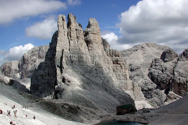
Vajolet Towers & Rifugio Re Alberto

Rosengarten / Catinaccio · Val di Fassa
Medium

Past Rifugio Vajolet and up a short cabled gully to the hut at the foot of the three Vajolet towers, deep inside the Rosengarten.

Length
11km
Ascent
+700m
Time
~5 h
High point
2,621m
Out & back Jun – Sep Out of season Vigo cable car to Ciampedìe, then 45 min on foot to Gardeccia (or chairlifts from Pera) High buzz
Rifugio Re Alberto I is open about 20 Jun – 20 Sep. As of Oct 2026
More detailsLess

From Rifugio Gardeccia the trail climbs past the Vajolet and Preuss huts, then up a steep rocky gully with fixed cables to Rifugio Re Alberto I (Gartlhütte) at 2,621 m, tucked at the foot of the three Vajolet Towers deep inside the Rosengarten. Gardeccia is about 45 minutes on foot from the Ciampedìe cable car above Vigo di Fassa, or reached by the chairlifts from Pera. The hut opens roughly late June to late September.

High point
Rifugio Re Alberto I · 2,621 m
Massif · views
Dolomites
Route
Out & back · Jun – Sep
Getting there
Vigo cable car to Ciampedìe, then 45 min on foot to Gardeccia (or chairlifts from Pera)
Why it’s popular
Alpenglow on the Vajolet spires is a classic Dolomites image
Trailhead on OpenStreetMap
14.4 km from Ortisei
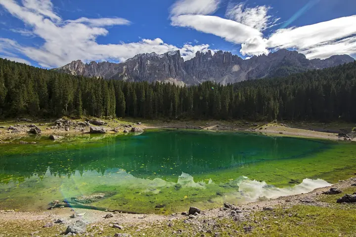
Lago di Carezza Dolomites · Italy Photo: Olga1969 · CC BY 4.0

Lago di Carezza

Eggental · Latemar
Easy

A short path round a small, vivid green-blue lake that mirrors the Latemar spires: a 30-minute stop on the Great Dolomites Road.

Length
1.4km
Ascent
+20m
Time
30 min
High point
1,520m
Loop May – Oct In season Paid car parks P1/P2 with a short tunnel to the lake; bus 180 High buzz
Swimming and drones are banned. As of Oct 2026
More detailsLess

A short, nearly flat path circles the Karersee, a small spring-fed lake famous for its shifting green-blue colours and the reflection of the Latemar spires. It is a 30-minute stop on the Great Dolomites Road: park at the paid P1/P2 car parks and walk through the short underpass to the shore. The lakeshore is fenced to protect it; swimming and drones are banned.

High point
Lago di Carezza · 1,520 m
Massif · views
Dolomites
Route
Loop · May – Oct
Getting there
Paid car parks P1/P2 with a short tunnel to the lake; bus 180
Why it’s popular
The “rainbow lake” mirroring the Latemar, a fixed stop on the Great Dolomites Road
Trailhead on OpenStreetMap
19.8 km from Ortisei

Croda Negra from Passo Falzarego

Falzarego / Cortina d’Ampezzo
Easy

Trail 441 across alpine meadows, then right onto the rocky path with one brief 2 m rock step before the airy summit ridge. On top, the sheer Tofane wall fills the horizon with the Cinque Torri towers in the valley below.

Length
6.2km
Ascent
+415m
Time
~2.5 h
High point
2,518m
No. 441 / 442 Out & back Jun – Oct In season Drive to Passo Falzarego (2,105 m); park at the Lagazuoi lift
More detailsLess

Trail 441 across alpine meadows, then right onto the rocky path with one brief 2 m rock step before the airy summit ridge. On top, the sheer Tofane wall fills the horizon with the Cinque Torri towers in the valley below.

High point
Croda Negra · 2,518 m
Massif · views
Nuvolau / Averau
Trail markers
No. 441 / 442
Route
Out & back · Jun – Oct
Getting there
Drive to Passo Falzarego (2,105 m); park at the Lagazuoi lift
Trailhead on OpenStreetMap
26.3 km from Ortisei GPX
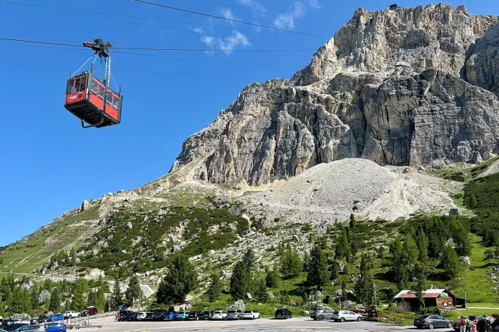
Lagazuoi WWI Tunnels Dolomites · Italy Photo: kallerna · CC BY-SA 4.0

Lagazuoi WWI Tunnels

Cortina d’Ampezzo · Falzarego
Medium

Ride up to Rifugio Lagazuoi, then descend inside the mountain through restored WWI tunnels by headlamp, with an optional exit along the exposed Cengia Martini ledge.

Length
4.5km
Ascent
+0m ↓650
Time
~3.5 h
High point
2,752m
Traverse Jun – Oct In season Lagazuoi cable car up from Passo Falzarego, then walk down through the tunnels High buzz
Helmet, headlamp, gloves and a via-ferrata kit are mandatory in the tunnels. As of Oct 2026
More detailsLess

Ride the Lagazuoi cable car from Passo Falzarego to the hut terrace at 2,752 m, one of the great Dolomites viewpoints, then walk back down inside the mountain through the Galleria del Lagazuoi, a WWI mine tunnel dug by the Italian army under the Austrian positions. The tunnels are steep, wet and pitch-dark in places: headlamp, helmet, gloves and a via-ferrata kit are required. The exposed Cengia Martini ledge is an optional exit.

High point
Rifugio Lagazuoi · 2,752 m
Massif · views
Dolomites
Route
Traverse · Jun – Oct
Getting there
Lagazuoi cable car up from Passo Falzarego, then walk down through the tunnels
Why it’s popular
Headlamp descent through restored Austro-Italian war tunnels, from the famous Lagazuoi hut terrace
Trailhead on OpenStreetMap
26.5 km from Ortisei

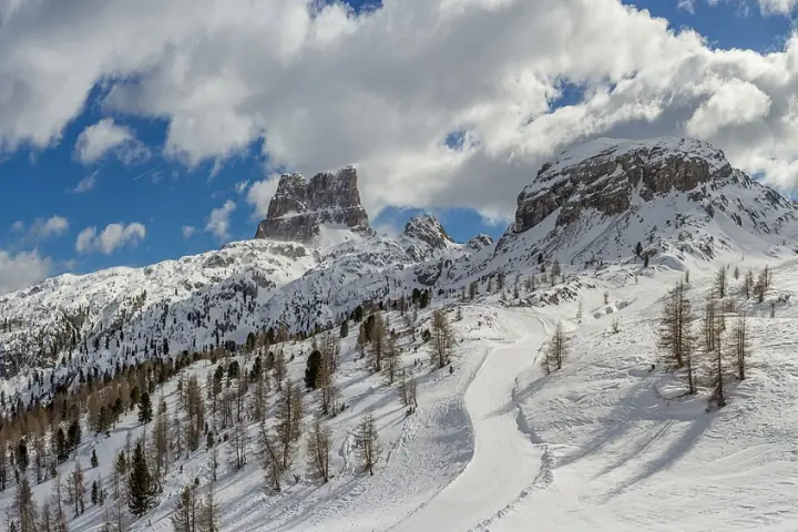
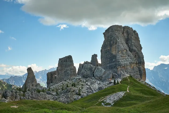
Giro delle Cinque Torri

Cortina d’Ampezzo / Falzarego
Easy

A gentle lift-assisted circuit around the five Dolomite towers — Torre Grande tops out at 2,361 m, climbers only — threading the restored WWI trenches and gun posts of the open-air Great War museum, with the Tofane and Croda da Lago all around.

Length
3.5km
Ascent
+150m
Time
~2 h
High point
2,255m
No. 439 / 440 / 425 Loop Jun – Oct In season 5 Torri chairlift from Bai de Dones (1,889 m), or walk up ~1 h High buzz
More detailsLess

A gentle lift-assisted circuit around the five Dolomite towers — Torre Grande tops out at 2,361 m, climbers only — threading the restored WWI trenches and gun posts of the open-air Great War museum, with the Tofane and Croda da Lago all around.

High point
Rifugio Scoiattoli · 2,255 m
Massif · views
Nuvolau / Averau
Trail markers
No. 439 / 440 / 425
Route
Loop · Jun – Oct
Getting there
5 Torri chairlift from Bai de Dones (1,889 m), or walk up ~1 h
Why it’s popular
Open-air WWI museum among five rock towers; big views for little effort
Trailhead on OpenStreetMap
29.6 km from Ortisei GPX

Rifugio Nuvolau from Passo Giau

Cortina d’Ampezzo
Medium

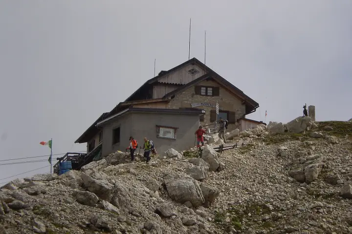
From Passo Giau round the Ra Gusela to the summit hut of Nuvolau, the oldest in the Dolomites, with a 360° view from the Civetta to the Tofane.

Length
9.8km
Ascent
+612m
Time
~5 h
High point
2,575m
Loop Jun – Oct In season Car to Passo Giau (2,236 m) High buzz
More detailsLess

From Passo Giau the path climbs round the Ra Gusela to Rifugio Nuvolau, a hut perched on the 2,575 m summit since 1883 and one of the oldest in the Dolomites. The 360° view takes in the Civetta, Pelmo, Tofane, Marmolada and the Cinque Torri right below. The last pull to the hut is steep but not technical; the loop back to the pass makes a full half-day.

High point
Rifugio Nuvolau · 2,575 m
Massif · views
Dolomites
Route
Loop · Jun – Oct
Getting there
Car to Passo Giau (2,236 m)
Why it’s popular
The oldest hut in the Dolomites on a 360° summit; a favourite sunset spot
Trailhead on OpenStreetMap
30.9 km from Ortisei

Monte Cernera via Passo Giau

Passo Giau / Colle Santa Lucia
Medium

A green, panoramic traverse above Passo Giau on trail 436 — left fork to Forcella Giau, right to the Cernera — then two short, easy cable-protected pitches onto the broad summit plateau at 2,664 m, facing the Tofane.

Length
6km
Ascent
+480m
Time
~4 h
High point
2,664m
No. 436 Out & back Jul – Sep Out of season Drive to Passo Giau (2,236 m) on the SP638
More detailsLess

A green, panoramic traverse above Passo Giau on trail 436 — left fork to Forcella Giau, right to the Cernera — then two short, easy cable-protected pitches onto the broad summit plateau at 2,664 m, facing the Tofane.

High point
Monte Cernera · 2,664 m
Massif · views
Cernera / Ampezzo Dolomites
Trail markers
No. 436
Route
Out & back · Jul – Sep
Getting there
Drive to Passo Giau (2,236 m) on the SP638
Trailhead on OpenStreetMap
31.0 km from Ortisei GPX
Lago di Braies Lake Circuit Dolomites · Italy Photo: STirol · CC BY-SA 3.0

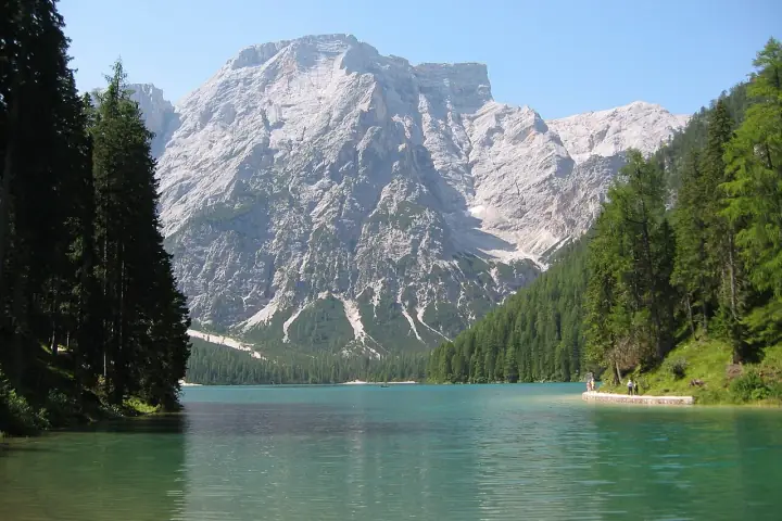
Lago di Braies Lake Circuit

Prags / Braies, South Tyrol
Easy

An easy, near-flat loop around the emerald Pragser Wildsee — the "pearl of the Dolomite lakes" — beneath the Croda del Becco. Wide gravel and boardwalk on the west shore, a few rocky steps on the far side, and the famous wooden boathouse at the start.

Length
3.6km
Ascent
+45m
Time
~1.3 h
High point
1,496m
No. 1 Loop Apr – Nov In season Summer 9–16h car closure: pre-book parking or shuttle bus Very high buzz
More detailsLess

An easy, near-flat loop around the emerald Pragser Wildsee — the "pearl of the Dolomite lakes" — beneath the Croda del Becco. Wide gravel and boardwalk on the west shore, a few rocky steps on the far side, and the famous wooden boathouse at the start.

High point
Lago di Braies · 1,496 m
Massif · views
Croda del Becco / Seekofel
Trail markers
No. 1
Route
Loop · Apr – Nov
Getting there
Summer 9–16h car closure: pre-book parking or shuttle bus
Why it’s popular
Emerald lake and wooden boathouse under the Seekofel; one of the most photographed lakes in the Alps
Trailhead on OpenStreetMap
34.4 km from Ortisei GPX

Alta Via 1

Lago di Braies → Belluno
Hard

The classic hut-to-hut traverse from Lago di Braies to Belluno over Fanes, Lagazuoi and Nuvolau, past the Pelmo and Civetta.

Length
120km
Ascent
+7,000m
Time
8–12 days
High point
2,752m
Multi-day Jul – Sep Out of season Bus or shuttle to Lago di Braies; bus home from Belluno High buzz
More detailsLess

The best-known hut-to-hut trek in the Dolomites: about 120 km from Lago di Braies to Belluno in 8–12 days. It crosses the Fanes plateau, climbs to Rifugio Lagazuoi (2,752 m, the high point), passes the Cinque Torri and Nuvolau, then the Pelmo and the Civetta walls before dropping through the wild Schiara group. No glacier crossings, a few exposed cabled passages and an optional via ferrata near the end. Book the huts months ahead for July and August.

High point
Rifugio Lagazuoi · 2,752 m
Massif · views
Dolomites
Route
Multi-day · 8–12 days · Jul – Sep
Getting there
Bus or shuttle to Lago di Braies; bus home from Belluno
Why it’s popular
The most popular multi-day trek in the Dolomites
Trailhead on OpenStreetMap
34.4 km from Ortisei
Col de la Puina Dolomites · Italy Photo: kallerna · CC BY-SA 4.0

Col de la Puina

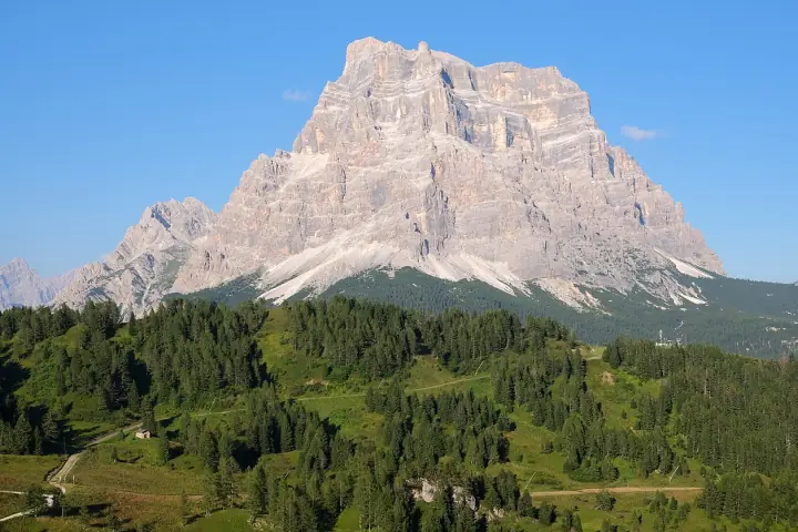
Val di Zoldo / Pelmo
Easy

An easy forest-road walk to Rifugio Città di Fiume, then a short, steep grassy ridge to a panoramic top right beneath the soaring north walls of Monte Pelmo, with views to Civetta, Antelao and the Marmolada.

Length
7.3km
Ascent
+600m
Time
~3.5 h
High point
2,254m
CAI 467 + ridge Out & back Jun – Oct In season Drive via Passo Staulanza; park at the hairpin (~1,663 m)
More detailsLess

An easy forest-road walk to Rifugio Città di Fiume, then a short, steep grassy ridge to a panoramic top right beneath the soaring north walls of Monte Pelmo, with views to Civetta, Antelao and the Marmolada.

High point
Col de la Puina · 2,254 m
Massif · views
Pelmo
Trail markers
CAI 467 + ridge
Route
Out & back · Jun – Oct
Getting there
Drive via Passo Staulanza; park at the hairpin (~1,663 m)
Trailhead on OpenStreetMap
37.6 km from Ortisei GPX
Monte Coldai (Cima Coldai) Dolomites · Italy Photo: Mauro742 · CC BY-SA 3.0

Monte Coldai (Cima Coldai)

Civetta / Val di Zoldo
Medium

A wide gravel road from Palafavera past Malga Pioda to Rifugio Sonino al Coldai, then up to the saddle above the turquoise Lago Coldai; a faint path opposite the lake gains the 2,403 m summit, set straight against the immense north-west wall of the Civetta.

Length
12.4km
Ascent
+875m
Time
~4.7 h
High point
2,403m
No. 564 / 556 Out & back Jun – Oct In season Drive to Palafavera, Val di Zoldo (1,507 m); free parking
More detailsLess

A wide gravel road from Palafavera past Malga Pioda to Rifugio Sonino al Coldai, then up to the saddle above the turquoise Lago Coldai; a faint path opposite the lake gains the 2,403 m summit, set straight against the immense north-west wall of the Civetta.

High point
Cima Coldai · 2,403 m
Massif · views
Civetta
Trail markers
No. 564 / 556
Route
Out & back · Jun – Oct
Getting there
Drive to Palafavera, Val di Zoldo (1,507 m); free parking
Trailhead on OpenStreetMap
38.2 km from Ortisei GPX

Map data © OpenStreetMap contributors. Photos from Wikimedia Commons under their stated licences, credited on each card.