Alpine Trails

Explore the Alps · 4 regions

58 trails · most talked-about first

Dolomites · Austria · Switzerland · Germany

Postcards from the Alps

The hikes everyone shares, grouped by region. Open one to see it on the trail-finder map, with every trailhead checked against OpenStreetMap.

trails
58
must visit
37
multi-day
10

Dolomites

16 trails · Italy
Easy Out & back
Puez-Odle Nature Park

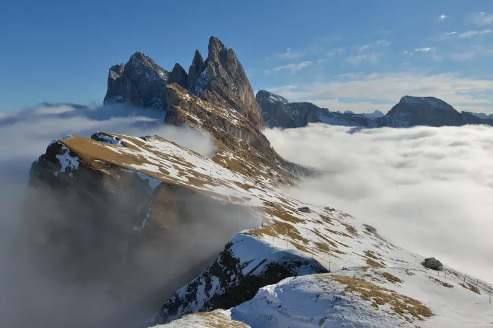
Seceda Ridge Viewpoint

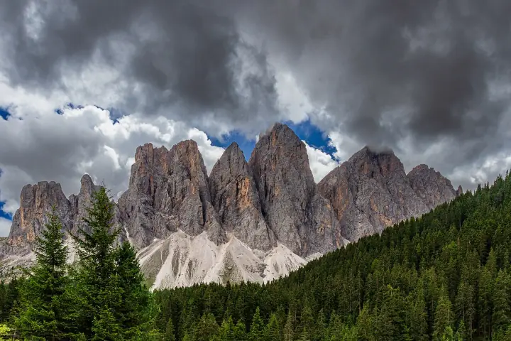
The postcard of the Dolomites: the knife-edge Seceda ridge tilting up to the jagged Odle spires. A short, easy stroll from the top of the cable car to the famous viewpoint, with the Sella and Sassolungo on the horizon.

1.3 km+110 m45 min▲ 2,519 m
Since July 2025 landowners have intermittently run a €5 turnstile on the path to the summit cross As of Oct 2026
Photo: Wolfgang Moroder · CC BY-SA 3.0
Medium Loop
Tre Cime Nature Park / Sexten Dolomites

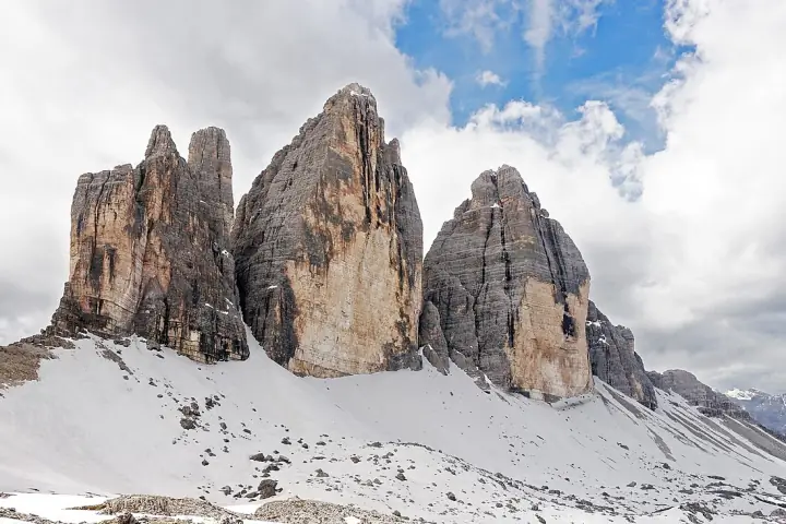
Tre Cime di Lavaredo Loop

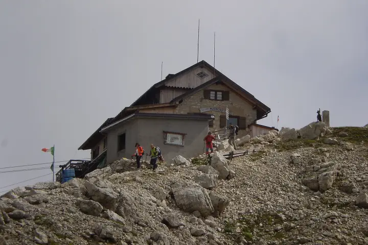
The wide, hugely popular circuit that rounds the north faces of the Tre Cime, climbing gently over the Forcella Lavaredo saddle to Rifugio Locatelli, where the three sheer towers line up in their iconic profile. Only ~400 m of ascent, but a proper mountain day at 2,300–2,450 m.

10 km+400 m~3.5 h▲ 2,454 m
Photo: Tiia Monto · CC BY-SA 3.0
Medium Out & back
Sorapiss / Cortina d’Ampezzo

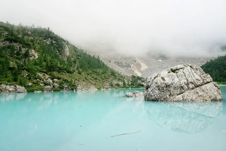
Lago di Sorapis

From Passo Tre Croci, trail 215 starts gently through larch forest, then narrows into rocky balcony ledges secured with cables and iron steps before dropping to the milky-turquoise Lago di Sorapis beneath the Dito di Dio spire. Hugely popular — the exposed sections want sure feet.

12 km+600 m~4 h▲ 1,925 m
Photo: Grazyna Chlebicka · CC BY 3.0
Easy Loop
Prags / Braies, South Tyrol

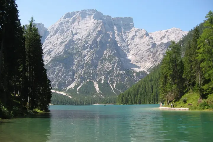
Lago di Braies Lake Circuit

An easy, near-flat loop around the emerald Pragser Wildsee — the "pearl of the Dolomite lakes" — beneath the Croda del Becco. Wide gravel and boardwalk on the west shore, a few rocky steps on the far side, and the famous wooden boathouse at the start.

3.6 km+45 m~1.3 h▲ 1,496 m
Photo: STirol · CC BY-SA 3.0
Easy Out & back
Val di Funes · Puez-Odle

Santa Maddalena Viewpoint

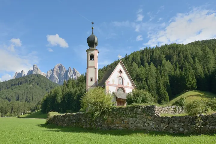
An easy walk above the village to the classic view of Santa Maddalena church with the Geisler spires behind, and the meadow chapel of St. Johann in Ranui just down the valley.

3.2 km+150 m~1 h▲ 1,366 m
Drones are banned (fines up to €3,000) As of Oct 2026
Photo: Wolfgang Moroder · CC BY-SA 3.0
Medium Loop
Puez-Odle Nature Park

Adolf Munkel Trail (Via delle Odle)

A near-level forest-and-meadow circuit along the northern base of the Geisler/Odle group, named after the Dresden alpinist who founded it in 1905. The sawtooth peaks rise straight overhead from the Geisler Alm "cinema" — manageable for most and even doable with kids.

9.2 km+428 m~3.5 h▲ 2,006 m
Photo: Matthias Süßen · CC BY-SA 4.0
Easy Loop
Seiser Alm / Sciliar

Alpe di Siusi Meadow Walk

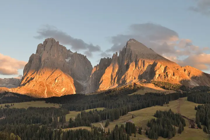
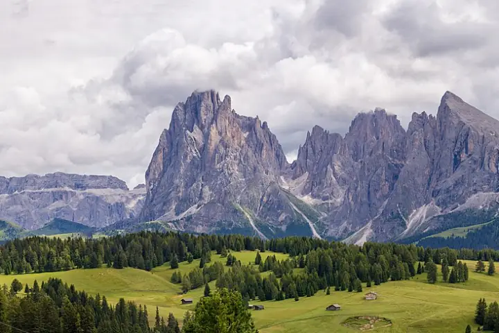
Europe’s largest high-altitude alpine meadow, rolling green under the Sassolungo and Sciliar. Wide, almost flat paths make this the easiest big-view day from Ortisei — perfect for a slow afternoon or a picnic.

6 km+150 m~2.5 h▲ 2,005 m
Photo: Wolfgang Moroder · CC BY-SA 3.0
Easy Loop
Cortina d’Ampezzo / Falzarego

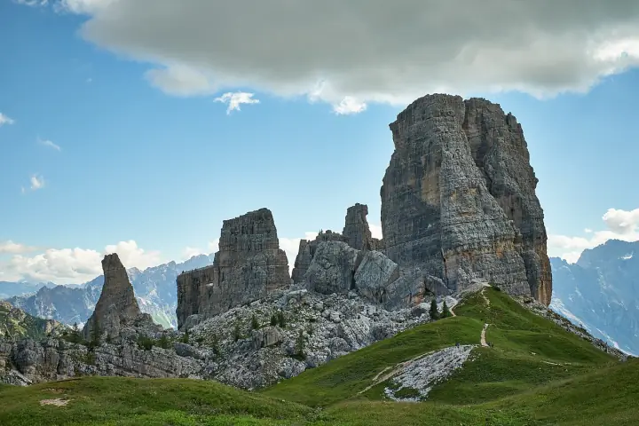
Giro delle Cinque Torri

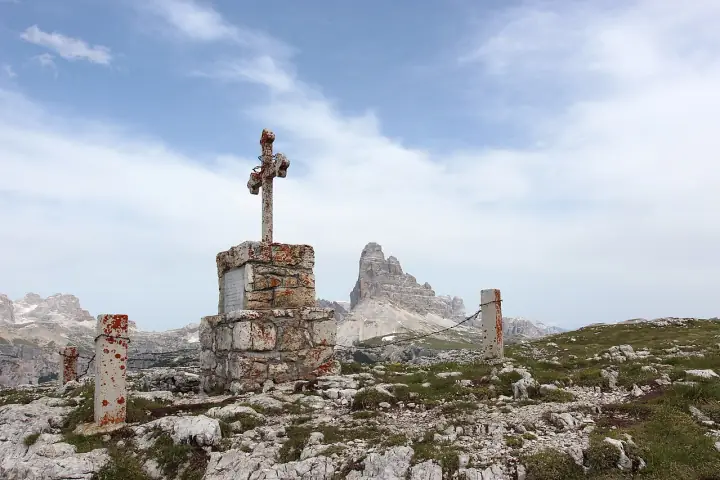
A gentle lift-assisted circuit around the five Dolomite towers — Torre Grande tops out at 2,361 m, climbers only — threading the restored WWI trenches and gun posts of the open-air Great War museum, with the Tofane and Croda da Lago all around.

3.5 km+150 m~2 h▲ 2,255 m
Photo: Luca Sartoni · CC BY-SA 2.0
Medium Traverse
Cortina d’Ampezzo · Falzarego

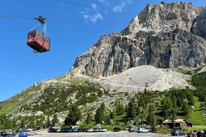
Lagazuoi WWI Tunnels

Ride up to Rifugio Lagazuoi, then descend inside the mountain through restored WWI tunnels by headlamp, with an optional exit along the exposed Cengia Martini ledge.

4.5 km+0 m~3.5 h▲ 2,752 m
Helmet, headlamp, gloves and a via-ferrata kit are mandatory in the tunnels As of Oct 2026
Photo: kallerna · CC BY-SA 4.0
Easy Loop
Eggental · Latemar

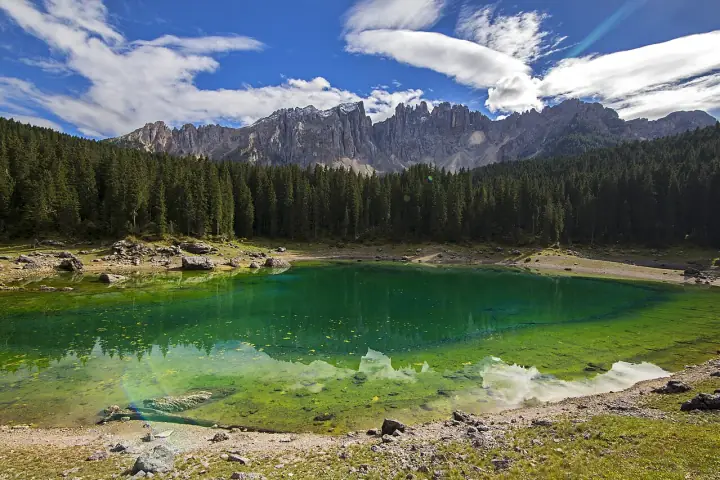
Lago di Carezza

A short path round a small, vivid green-blue lake that mirrors the Latemar spires: a 30-minute stop on the Great Dolomites Road.

1.4 km+20 m30 min▲ 1,520 m
Swimming and drones are banned As of Oct 2026
Photo: Olga1969 · CC BY 4.0
Hard Traverse
Brenta Dolomites · Madonna di Campiglio

Via delle Bocchette Centrali

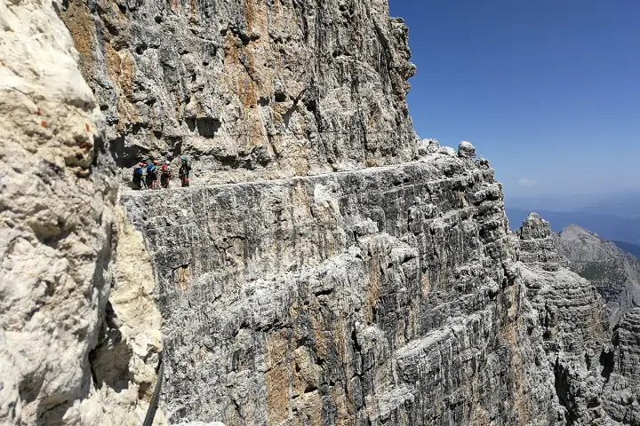
Airy ledges and ladders through the heart of the Brenta, from Rifugio Alimonta past the Campanile Basso to the Bocca di Brenta.

18 km+1,300 m~9.5 h▲ 2,800 m
Full via-ferrata kit and helmet required As of Oct 2026
Photo: Ste Valentini · CC BY-SA 4.0

Austria

15 trails · Tyrol · Salzburg · Salzkammergut · Vorarlberg
Medium Out & back
Hallstatt · Dachstein Salzkammergut UNESCO

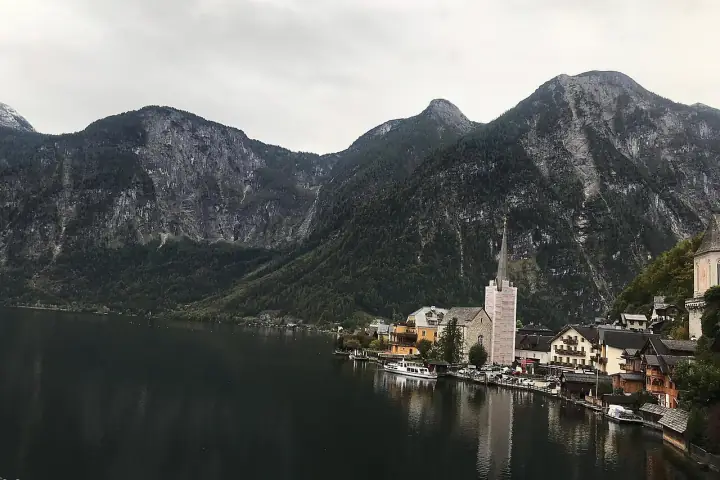
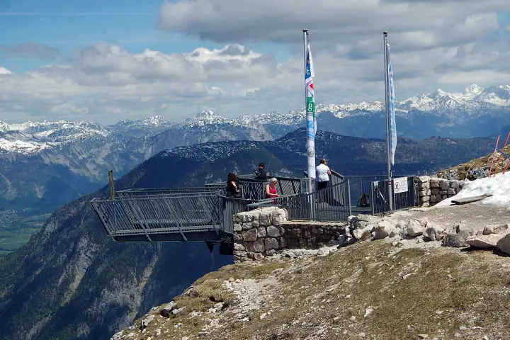
Hallstatt Salzberg & Skywalk

A steep zigzag path, or the funicular, to the Skywalk platform 360 m above Hallstatt, with the whole lake and the Dachstein below.

4.8 km+485 m~2.5 h▲ 855 m
The Soleweg section Salzberg–Steeg is closed after rockfall As of Oct 2026
Photo: Sashi kala Khatri · CC BY-SA 4.0
Easy Loop
Hochschwab · Tragöß

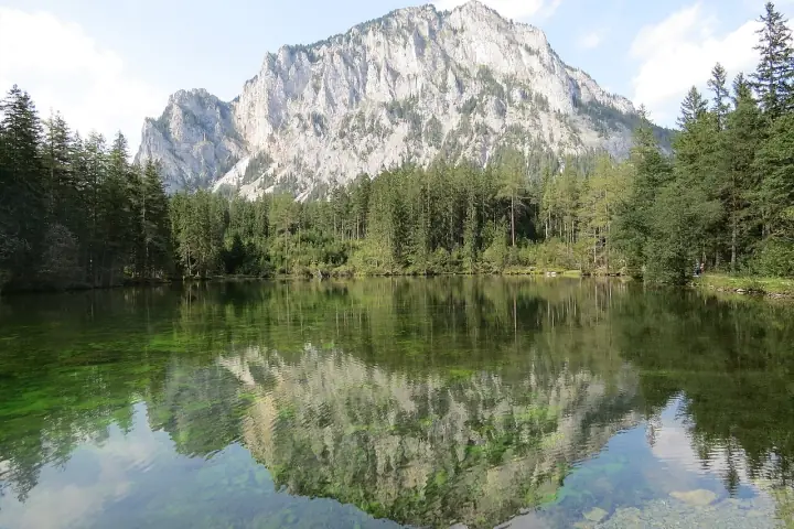
Grüner See Loop

An easy loop round a crystal-clear lake under the Hochschwab that swells with snowmelt each spring, flooding the park paths beneath it.

3.6 km+38 m~1 h▲ 788 m
Best mid-May to June As of Oct 2026
Photo: GT1976 · CC BY-SA 4.0
Easy Out & back
Krimml · Hohe Tauern National Park

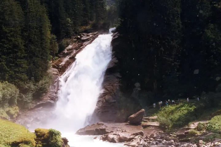
Krimml Waterfalls Trail

A well-built path climbs beside all three tiers of the 380 m falls, with spray-soaked viewpoints at every bend.

5.7 km+500 m~2.5 h
Wasserfallweg admission about €9 As of Oct 2026
Photo: Unknown · Public domain
Hard Multi-day
St. Johann in Tirol → St. Christoph am Arlberg

Eagle Walk (Adlerweg)

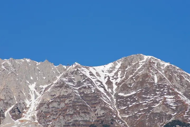
Tyrol’s long-distance trail from the Wilder Kaiser across the Karwendel and Lechtal Alps to the Arlberg: 24 North Tyrol stages plus a 9-stage East Tyrol branch.

425 km+28,500 m33 stages▲ 2,870 m
Photo: Karl Winkler · CC BY-SA 3.0
Medium Multi-day
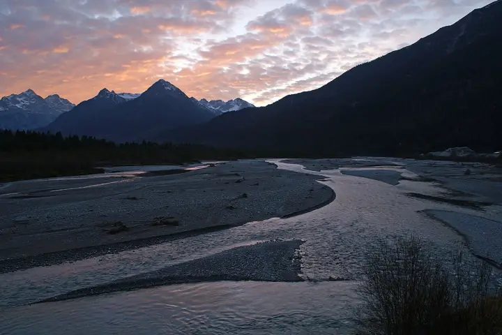
Formarinsee → Füssen

Lechweg

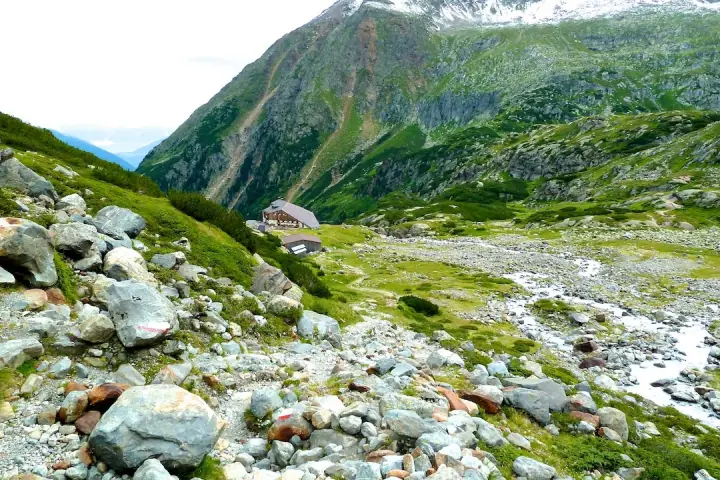
Follow the Lech from its source lake to the Lechfall at Füssen: gravel banks, suspension bridges and valley villages, mostly downhill.

125 km+4,320 m7–8 days▲ 1,830 m
Photo: Flodur63 · CC BY-SA 3.0
Switzerland

16 trails · Bernese Oberland · Valais · Central · Ticino
Easy Traverse
Lauterbrunnen · Jungfrau Region

Lauterbrunnen Valley Walk

A flat valley-floor walk past the Staubbach Falls to the glacier-fed Trümmelbach Falls inside the cliff, and on to Stechelberg.

8.5 km+115 m~2 h▲ 910 m
Trümmelbach Falls entry about CHF 18 As of Oct 2026
Photo: Chensiyuan · CC BY-SA 4.0
Hard Multi-day
Loop from Les Houches

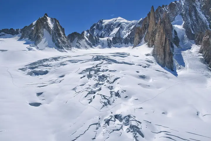
Tour du Mont Blanc

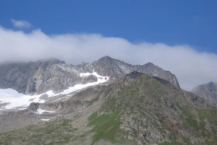
An 11-stage loop round the Mont Blanc massif through France, Italy and Switzerland, with a glacier view from nearly every pass.

170 km+10,000 m11 days▲ 2,537 m
From 2027 the French communes plan to require a booked bed every night and ban bivouacs As of Oct 2026
Photo: Ximonic, Simo Räsänen · CC BY-SA 3.0
Medium Traverse
Grindelwald · Kleine Scheidegg

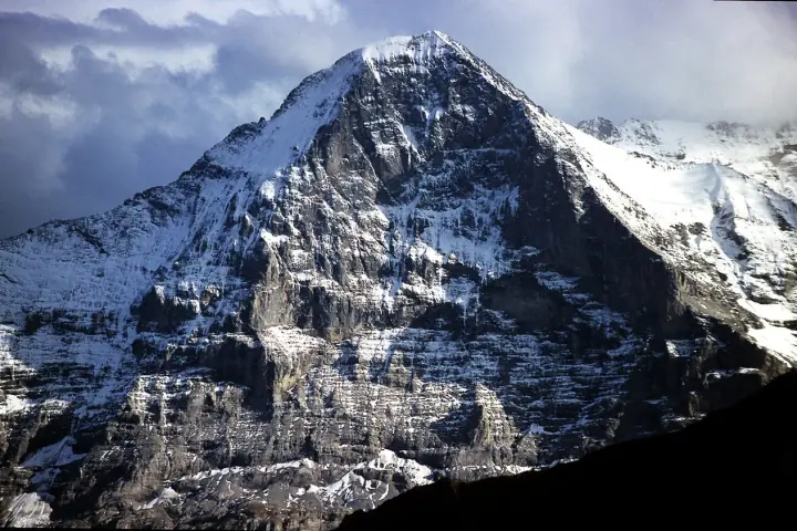
Eiger Trail

A mostly downhill path right along the foot of the Eiger north face, from the Eigergletscher station to Alpiglen.

6.1 km+80 m~2 h▲ 2,346 m
Photo: Terra3 · CC BY-SA 3.0
Medium Out & back
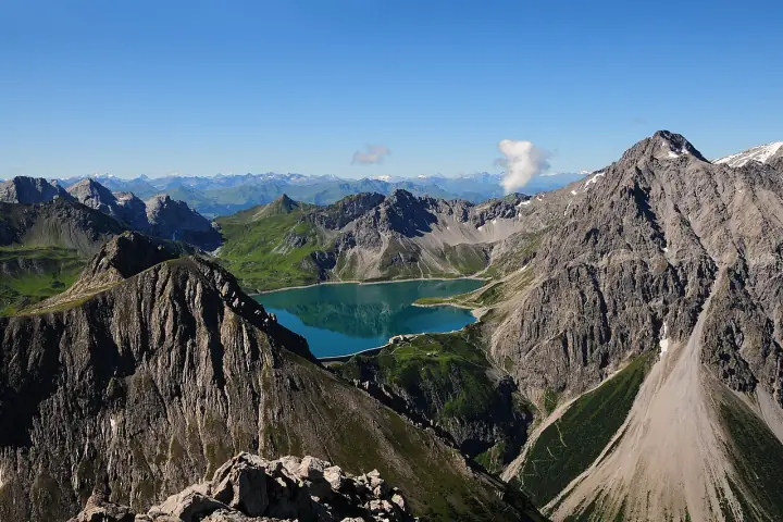
Zermatt · Matterhorn

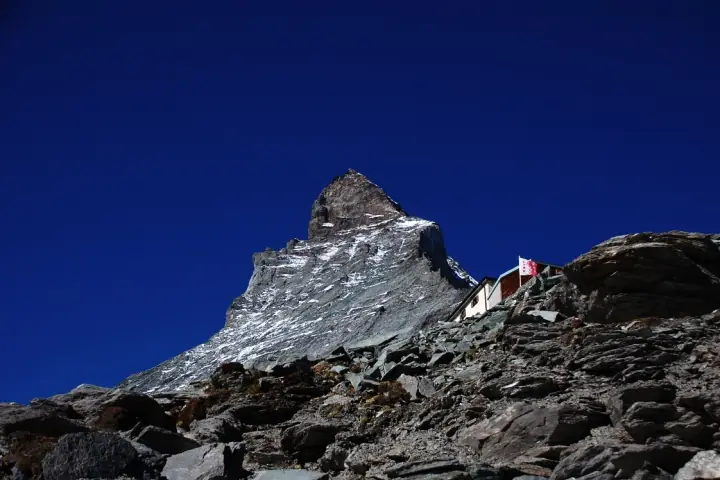
Hörnlihütte from Schwarzsee

A steep, rocky climb with fixed ropes up the Hörnli ridge to the Matterhorn base camp at 3,260 m, as close as hikers get.

8.6 km+700 m~4 h▲ 3,260 m
Hut open mid-June to mid-September As of Oct 2026
Photo: Sunna · CC BY-SA 3.0
Germany

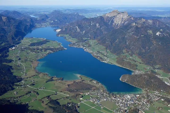
11 trails · Bavarian Alps · Allgäu · Berchtesgaden
Medium Loop
Grainau · Wetterstein

Höllentalklamm Loop

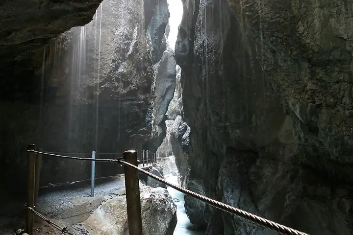
Through the dripping tunnels of the Höllentalklamm to the Höllentalangerhütte under the Zugspitze, returning over the airy Stangensteig.

11.6 km+650 m~4.5 h▲ 1,381 m
Bridges are removed over winter As of Oct 2026
Photo: Christian Nawroth · CC BY-SA 3.0
Hard Multi-day
Grainau · Wetterstein

Zugspitze via the Höllental

Germany’s highest summit the hard way: the Höllental gorge, a night at the Höllentalangerhütte, then the Höllentalferner glacier and a long via ferrata to the top.

10 km+2,200 m2 days▲ 2,962 m
Glacier (Höllentalferner) plus via ferrata: crampons, helmet and harness As of Oct 2026
Photo: Heinrich Stürzl · CC BY-SA 3.0
Hard Multi-day
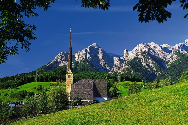
Berchtesgaden National Park

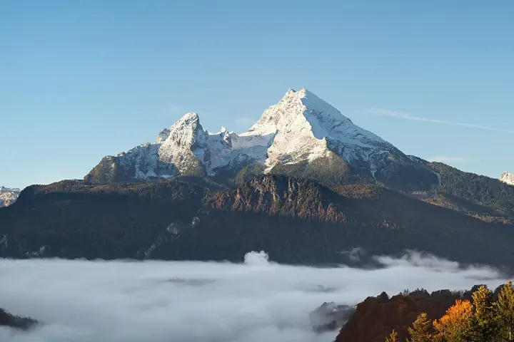
Watzmann Traverse

Over all three Watzmann summits on an exposed, cabled ridge, with a night at the Watzmannhaus and a long descent through the Wimbachgries.

23 km+2,300 m2 days▲ 2,713 m
Exposed, cabled ridge: a long two-day tour with a night at the Watzmannhaus As of Oct 2026
Photo: Jörg Braukmann · CC BY-SA 4.0
Easy Out & back
Oberstdorf

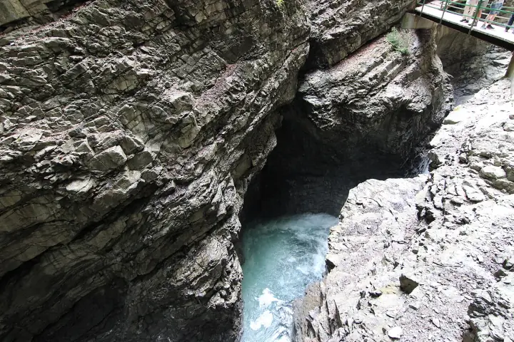
Breitachklamm Gorge

One of the deepest gorges in Central Europe: a walkway cut into the rock above the roaring Breitach, with frozen waterfalls on the winter walks.

3.5 km+150 m~1.5 h
Open daily with last entry at 16:00 As of Oct 2026
Photo: Hilarmont · CC BY-SA 3.0 de
Easy Loop
Marktschellenberg

Almbachklamm & Ettenberg

Up the Almbachklamm on steps and bridges past green pools to the Theresienklause, then to the Ettenberg pilgrimage church and back down.

7.5 km+450 m~3 h▲ 820 m
Closed in winter because of falling ice As of Oct 2026
Photo: Geolina163 · CC BY-SA 3.0
Map data © OpenStreetMap contributors. Photos from Wikimedia Commons under their stated licences. Route figures from official tourism sites and route portals; buzz levels are editorial.